
 AsyaTicari
 AsyaRestoran
 AsyaOtel
 AsyaCrm
 AsyaKlinik
 AsyaSpor
 AsyaSSH
 AsyaEmlak
 AsyaFilo
 AsyaPuantaj
 AsyaİSG
 AsyaİHD
 Kolay Öğren
AsyaFilo · Operation
Play route
Lists the position points (time, latitude, longitude, speed, heading) of a selected vehicle in a period.
Play route lists the past position points sent by a vehicle's device for a date range. It is independent of the live map: it shows the recorded history, not the current position. The points are shown as a table; they are not drawn on a map.
asyafilo · /playback
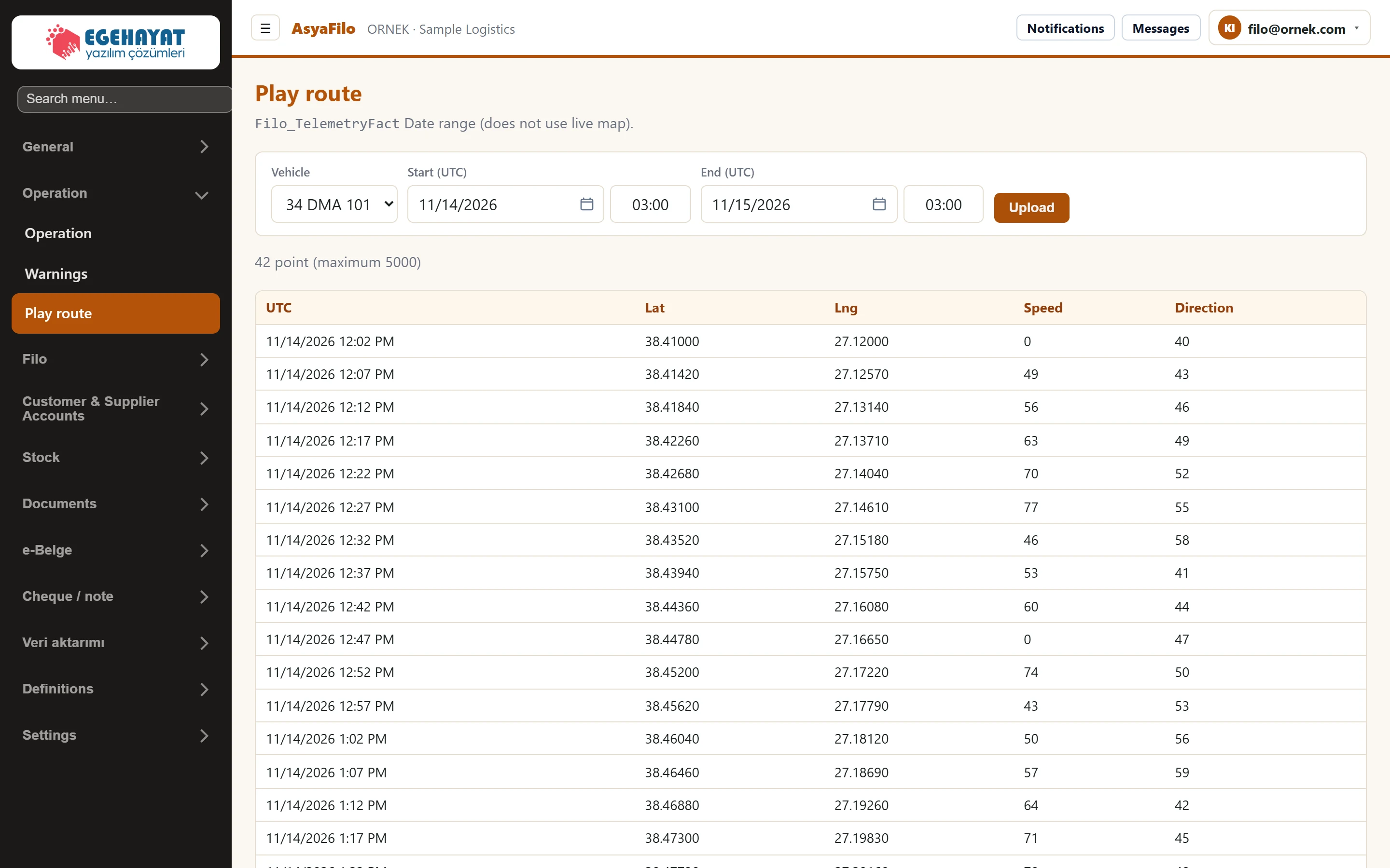
- 134 DMA 101 Vehicle (plate) whose position history you want to see.
- 2Start (UTC) Start of the period.
- 3End (UTC) End of the period.
- 4Upload Fetches the position points in the selected period.
- 5Point count Number of points found (at most 5000).
- 6Table Time (UTC), latitude, longitude, speed (km/h) and heading (degrees).
Usage
- Select the plate in the Vehicle list.
- Enter the date and time for Start (UTC) and End (UTC). When the screen opens, today is selected.
- Press the load button (labelled Upload in the English interface).
Each row is one position point: time (UTC), latitude (Lat), longitude (Lng), speed (km/h) and heading (degrees, 0 = north). At most 5000 points are read per query; the table shows the first 200 rows.
Times are in UTC: Turkish time is UTC+3, so 09:00 local is 06:00 UTC.
Common messages
| Message | Cause | Solution |
|---|---|---|
| No records found — no telemetry points in the selected period. | The vehicle sent no position in that period, or it is not paired with a device. | Widen the period; check the pairing under Vehicles & devices → Mapping. |