
 AsyaTicari
 AsyaRestoran
 AsyaOtel
 AsyaCrm
 AsyaKlinik
 AsyaSpor
 AsyaSSH
 AsyaEmlak
 AsyaFilo
 AsyaPuantaj
 AsyaİSG
 AsyaİHD
 Kolay Öğren
AsyaFilo · Filo
Live map
The last reported positions of the vehicles on a map; markers update automatically as new positions arrive.
The Live map shows the last position sent by each vehicle's device as a marker on the map. While the screen is open, new positions arrive over a live connection (SignalR) and the markers move without reloading the page.
asyafilo · /map
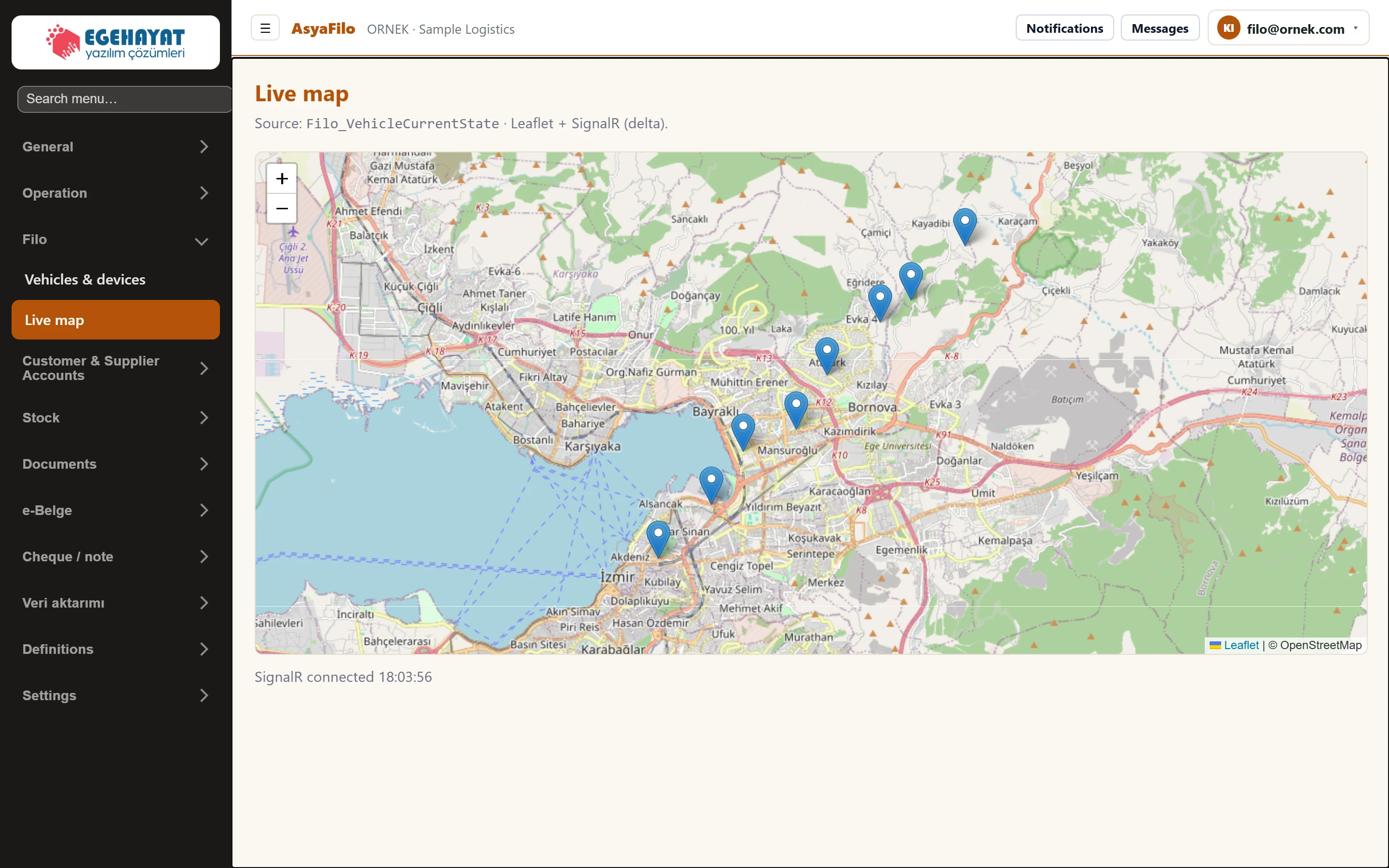
- 1Vehicle Each marker is a vehicle's last reported position.
- 2Zoom Zoom in / out.
- 3Status Vehicle count and time of the last refresh; «SignalR connected» once the live connection is up.
Usage
- Drag the map with the mouse; zoom with + / − or the mouse wheel.
- The line below the map shows the number of vehicles and the time of the last refresh; once the live connection is up it shows «SignalR connected» and the time.
- Only vehicles with a known last position appear (the «On map» count on the Overview).
The base map (streets and place names) is loaded from OpenStreetMap over the internet. Without internet, or if your network blocks this address, the map may stay grey; the vehicle markers are still shown at their positions.
If a vehicle is missing from the map, check that it is paired with a device (Vehicles & devices → Mapping) and that the device provider is sending positions.